Home > Arts > Artists > B > Thomas Brooks
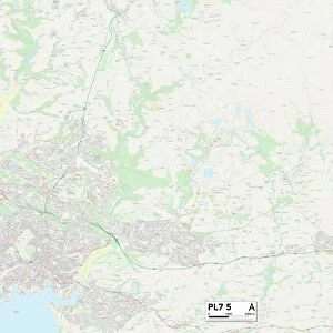
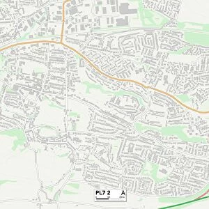
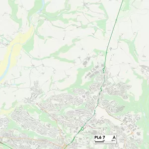
Plymouth PL7 1 Map

![]()
Wall Art and Photo Gifts from Map Marketing
Plymouth PL7 1 Map
Postcode Sector Map of Plymouth PL7 1
Media ID 19978379
Back Lane Broadlands Close Brook Close Buller Close Castle Lane Chantry Court Cherry Tree Lane Church Road Copse Close Copse Road Cotton Close Dudley Road Fore Street Gatehouse Lane Grantham Close Hill Close Horseshoe Drive Lower Farm Road Maple Grove Market Road Marshall Road Meadow Rise Morley Close New Park Road Parker Close Plymouth Potters Way Priory Drive Ridge Road School Lane Springwood Close St Peters Close St Thomas Close Sydney Close The Spinney Underwood Underwood Road Valley Road Wallace Road Woodland Drive Woodside Court Yeomans Way
FEATURES IN THESE COLLECTIONS
> Animals
> Mammals
> Muridae
> Peters Mouse
> Arts
> Artists
> B
> Thomas Brooks
> Arts
> Artists
> H
> Robert Hills
> Arts
> Artists
> H
> Thomas Hill
> Arts
> Artists
> O
> Elizabeth Olds
> Arts
> Artists
> R
> Thomas Roberts
> Map Marketing
> Postcode Sector Maps
> PL - Plymouth
MADE IN THE USA
Safe Shipping with 30 Day Money Back Guarantee
FREE PERSONALISATION*
We are proud to offer a range of customisation features including Personalised Captions, Color Filters and Picture Zoom Tools
SECURE PAYMENTS
We happily accept a wide range of payment options so you can pay for the things you need in the way that is most convenient for you
* Options may vary by product and licensing agreement. Zoomed Pictures can be adjusted in the Cart.