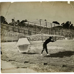
Home > North America > United States of America > New York > New York > Bridges > Broadway Bridge
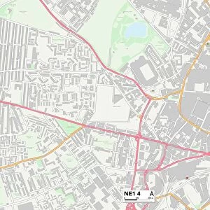
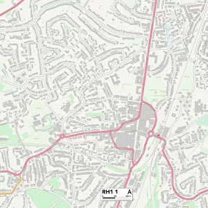
Crawley RH10 1 Map

![]()
Wall Art and Photo Gifts from Map Marketing
Crawley RH10 1 Map
Postcode Sector Map of Crawley RH10 1
Media ID 19976460
Arun Close Ash Road Bank Lane Bank Terrace Bramley Close Brookside College Road Crawley Crawley Avenue Crossways East Park Eastwood Exchange Road Farm Close Forge Lane Forge Road Grange Close High Street Holly Close Kimberley Road Lancaster Court Mill Road New Street North Road Northgate Orchard Street Parkside Priors Walk Queensway Rh10 Rowan Close Russell Way Station Road Station Way Stephenson Place Stephenson Way Telford Place The Birches The Boulevard The Broadway West Avenue West Way Williams Way Woodend Close Cross Keys
FEATURES IN THESE COLLECTIONS
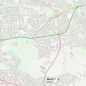
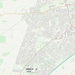
> Map Marketing
> Postcode Sector Maps
> RH - Redhill
> Maps and Charts
> Early Maps
> Maps and Charts
> Related Images
> North America
> United States of America
> New York
> New York
> Bridges
> Broadway Bridge
> Popular Themes
> Brunel
MADE IN THE USA
Safe Shipping with 30 Day Money Back Guarantee
FREE PERSONALISATION*
We are proud to offer a range of customisation features including Personalised Captions, Color Filters and Picture Zoom Tools
SECURE PAYMENTS
We happily accept a wide range of payment options so you can pay for the things you need in the way that is most convenient for you
* Options may vary by product and licensing agreement. Zoomed Pictures can be adjusted in the Cart.